Attention! The content of this website is neither developed nor supported by the HOGENT communication department. Please contact Dr. Cornelis Stal for more information, suggestions or questions.
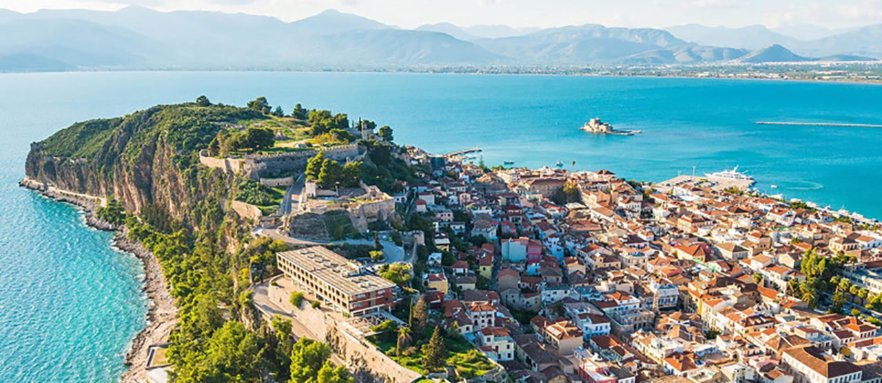
Update! Many thanks to HOGENT, the Heritage Management Organization and the city of Nafplio (Greece) for another great and productive field trip with our land surveying students. Click HERE for more info and our models.
geo.hogent.be
Research projects
Some of our research projects
As a member of the Department of Build Environment, we are also proud members of the Centre for Applied Data Science (CADS) and Sustainable land use and mobility (DRUM) at HOGENT. Furtermore, we are involved in various projects on the digitalization of cultural heritage, as part of HERITΛGE.
(HERITΛGE)
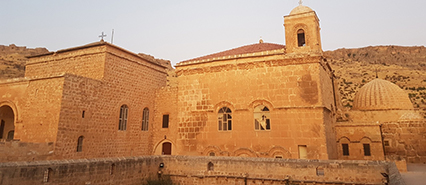
(HERITΛGE/KMKD)

(HOGENT, DRUM)
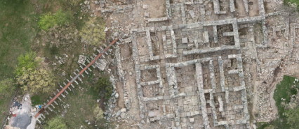
(HOGENT)
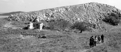
(HERITΛGE/KMKD)
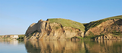
(HOGENT, UniBuc)
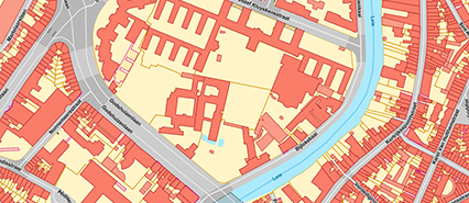
(HOGENT, DRUM)
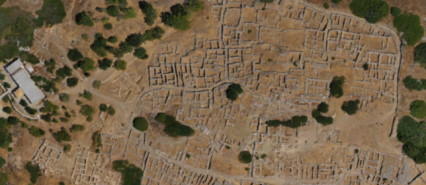
(HOGENT, culture.gr)
Some recent publications
Stal, C., Covataru, C., De Wulf, Q., Ignat, T.,
Pecheniuk, D., Lazar, C. (2024). Towards a spatial
data repository for archaeological research in the
Romanian Mostiștea Basin and Danube Valley. Data
in Brief, 57(12), 111-119.
read more →
Stal, C., Covataru, C., Müller, J., Parnic, V.,
Ignat, T., Hofmann, R., & Lazar, C. (2022).
Supporting Long-Term Archaeological Research in
Southern Romania Chalcolithic Sites Using
Multi-Platform UAV Mapping. Drones, 6(10), 277.
read more →
Covătaru, C., Stal, C., Florea, M., Opriș, I.,
Simion, C., Rădulescu, I., ... & Lazăr, C. (2022).
Human Impact Scale on the Preservation of
Archaeological Sites from Mostiştea Valley
(Romania). Frontiers in Environmental Science,
1065.
read more →
Jin, J., Verbeurgt, J., De Sloover, L., Stal, C.,
Deruyter, G., Montreuil, A. L., ... & De Wulf, A.
(2021). Monitoring spatiotemporal variation in
beach surface moisture using a long-range
terrestrial laser scanner. Isprs Journal of
Photogrammetry and Remote Sensing, 173, 195-208.
read more →
Hendrickx, H., De Sloover, L., Stal, C., Delaloye,
R., Nyssen, J., & Frankl, A. (2020). Talus slope
geomorphology investigated at multiple time scales
from high‐resolution topographic surveys and
historical aerial photographs (Sanetsch Pass,
Switzerland). Earth Surface Processes and
Landforms, 45(14), 3653-3669.
read more →
Stal, C., Verbeurgt, J., De Sloover, L., & De
Wulf, A. (2020). Assessment of handheld mobile
terrestrial laser scanning for estimating tree
parameters. Journal of Forestry Research, 1-11.
read more →
Dr. Cornelis Stal
is Lecturer at the Ghent University College (Department of Built Environment), Manager of HERITΛGE-Digital and, Visiting Professor at the Ghent University (Department of Geography) with expertice on airborne and terrestrial laser scanning and photogrammetry for 3D modeling as well as geo-IT (GI-systems, GI-programming, GI-management).
Education
References to online services and data
Our involvement in education
Click on the buttons bellow to learn more about the educational programs we are involved in.
(HOGENT)
(HOGENT)
(HOGENT)
(HOGENT)
(HOGENT)
(HERITΛGE)
(HOGENT)
(HOGENT)
Partners